Quite a Very Warm/HOT Weather Pattern will shape up through the rest of this Week here in Central & Eastern WY in the Upper 80°s and Lower 90°s, extending in the Weekend.
BUT as we gear up for the upcoming Holiday Weekend, a much Different Weather pattern shapes up.
FIRST, a Contrast of Temperatures as a Cold Front and deep Trough from Canada/MT is forecasted to slide by late Tuesday through Mid-Week.
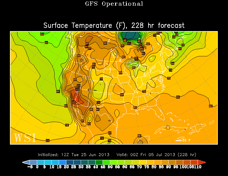
What does this Mean? Cooler Temperatures for a 'relief' for many of us in Upper 60°s-Middle 70°s for many of us. (IMAGE BELOW)
-- HERE is what the Weather Models are Suggesting.


THOUGHTS: What I can say right now is to stay cool as possible under these Hot Conditions. It 'could' become a washout for any Family/Holiday plans, but we have to appreciate all the Moisture we can receive so July/August won't be a Fire Potential season, like last year's.