Good Monday Evening. 60°s were scattered on Monday and we will likely see them again on Tuesday. Our Southwest flow and Sunshine once again will warm us up in the 60°s and maybe some 70°s along the Laramies. Winds should stay breezy at times between 15-25 MPH.

WEDNESDAY: Slight Cool down but staying dry as a deep Trough will cut through the Pacific bringing an area of Low Pressure through CA/NV. In the highest elevations, we could possibly see Snow above 6000FT.

Don't worry Wyoming. No Snow at this time for us, but Moisture could likely increase as Rain for the Overnight in Western & Southern parts of the State.
THURSDAY: Looks like a Rainy afternoon as that Low from CA/NV ejects Northward into UT/CO and spread some rainfall in Central WY. A Cold Rain, but I don't see much of a Snow Chance in Central WY; maybe some Light Snow in the Higher Elevations of Western WY. Thursday Evening, our Low strengthens across Eastern CO and surges toward the Dakota's and Strengthens.

<< GFS & NAM both agree on this Storm Track but the GFS (Shown Left) is a little stronger. Mountain snow likely in Western CO and 'maybe' in WY. Still that Rain chance likely for much of the Lower Elevations.
FRIDAY: Our Low in the Dakota's travels Northward in the Morning and the Cooler Air should "Wrap" around WY to give us that brief changeover to a Snow/Mix, but Light Accumulations (if any) are expected.

<< NAM/GFS both show this, but I think the best moisture of any Snow potential could be in the Bighorns.
LOOKING AHEAD: Our new System is forecasted to Arrive by late Sunday from the North and will glide into the Northern Tier of WY through Monday. RIGHT NOW, I think YNP/Absaroka's/Bighorns may see the Highest Snow potential as the Front surges Southward into Central WY by Monday Evening. Light Snow is possible but we will keep an eye on if the system slows down. IF it does, this is a great setup how the Bighorn Basin, Buffalo/Sheridan could see a good snow; even along I-90

<< GFS is faster in the Progression on this storm as it intensifies East of WY into the Dakota's. Light to Moderate snow possible for the Northern Tier of WY while Light Snow & Flurries for Central WY.
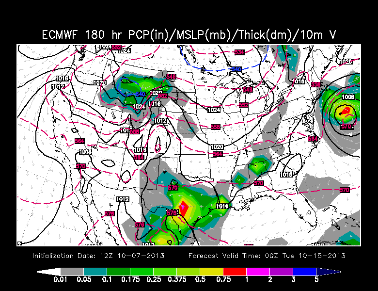
<< EURO shows the Storm more Organized in WY and MT. Much more colder air is possible if the Storm takes the EURO Track and could pose a threat for much of WY with that Snow Chance.
** Still a Long Way from now to next Monday, but we'll see how the Storms track. **
No comments:
Post a Comment